How to use public transport in Toronto: Unforgettable experience
Public Transport in Toronto
So I decided to take a trip to the city of Toronto all by myself. Various means of transportation that are offered by the government can be used by customers in this city.
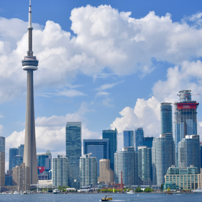
The vibrant city of Toronto – found at the center of the Nation – is known for its diversity, culture, and of course, there’s the world-famous CN Tower that rises up into the sky.
Yet, it is actually through efficient infrastructure run by the Toronto Transit Commission (TTC) that makes this city operate daily.
Knowing how to use the TTC helps you travel across town easily without complications if you are a visitor or one who stays here.
The public transport system experience around here is incredible.
The TTC has subways, streetcars or buses on assigned routes all over Toronto. Each route is planned out and applies to certain areas of neighborhoods as well as tourist attractions.
In my life, it’s an interesting occurrence.
Different Types of Public Transport in Toronto:
The TTC subway system is the most efficient method of crossing long distances over the city.
You can easily access major attractions and neighborhoods thanks to four lines spanning the entire town from north to south or east to west. Running from around 6 AM until about 1:30 AM, this means it is reliable for both early risers and night owls alike.
To take a more scenic route, pick one of Toronto’s iconic streetcars.
These tram cars are cute modes of transport that allow you to see different areas within a city; and with recent provision made for free transfer between TTC and GO Train, thus broadening the scope of your exploration.
Subways:
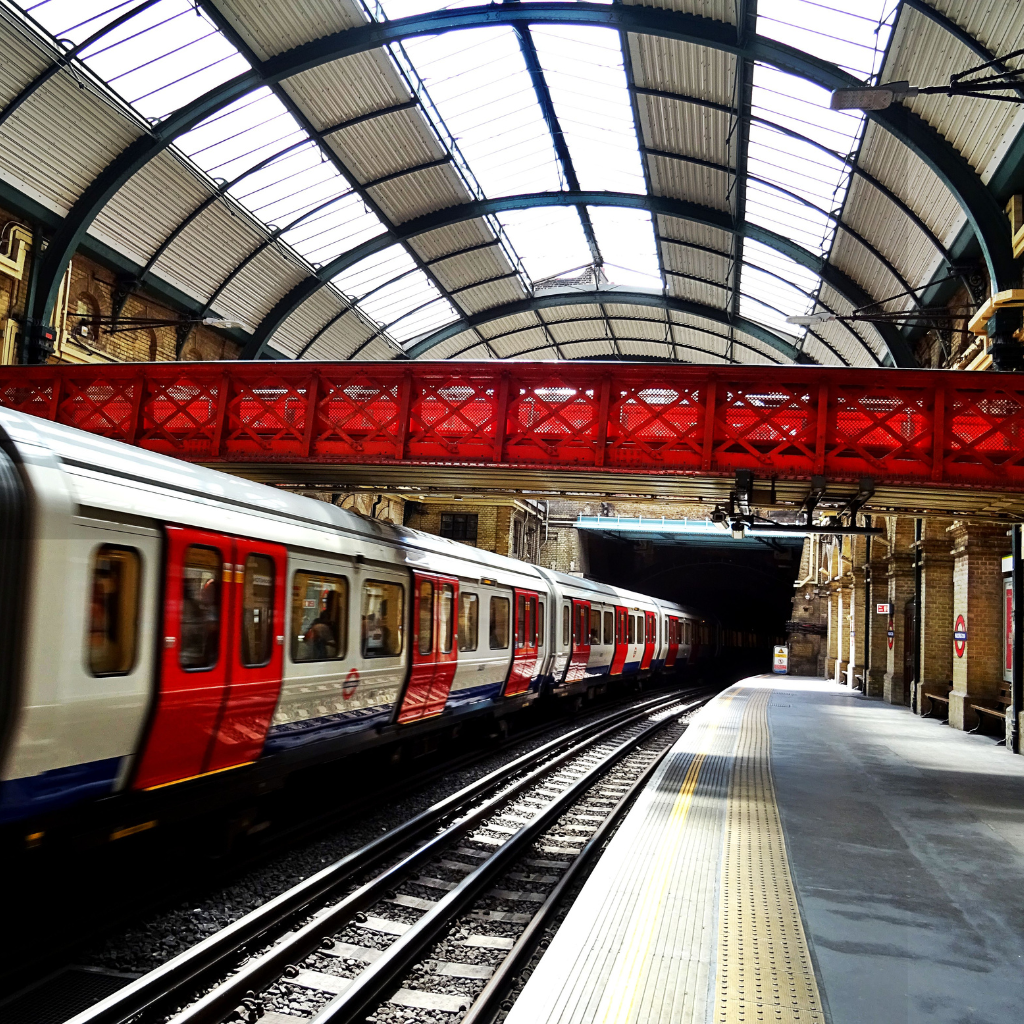
The four main subway lines include:
The Line 1 (Yonge-University): The TTC maps display Line 1 (or Yonge-University line) as yellow color. The U-shaped route of this line extends from Vaughan Metropolitan Centre in the north direction towards, which links North York, Scarborough, and downtown runs from north to south.
Among major stations included in the route, is Union which is regarded as the heart of downtown Toronto; there are also Bloor-Yonge, St. George, and Sheppard-Yonge connections.
The east-west Line 2 (Bloor-Danforth): A greenish colored Line 2, otherwise referred to as Bloor-Danforth line, runs from Kipling to Kennedy, joining neighborhoods in an east-west direction.
It serves numerous residential and commercial areas while linking to Line 1 at Bloor-Yonge and St. George stations as well as providing access to Scarborough RT through Kennedy station.
Line 3: Scarborough
The minor line linking Scarborough to the main network is called Line 3 (Scarborough). Line 3 Scarborough has a blue color code on maps; it is an elevated rapid transit route that stretches from Kennedy station to McCowan station.
Though shorter than the other lines with few stops along its length, it still plays a vital role in serving east Toronto’s regions.
The north Line 4 (Sheppard) passes north-south in the northern area of town.
Sheppard line or Purple Line number four is the shortest subway line running from Sheppard-Yonge all through Don Mills Station serving north regions of the city it equally offers an ideal connection with Line One being at Sheppard Yonge’s station.
Street Cars:
Major paths such as Queen Street, King Street, and Spadina Avenue are the main routes that streetcars run on. They not only serve as a picturesque itinerary through the city center.
To fill in the gaps between subway and streetcar-trodden portions of the town, buses connect otherwise unconnected areas.
Hence no outskirt shall remain unreachable especially when the bus tents are numerous therefore no one quarter lacks radii served by any bus.
When loading a rush hour train or one that has just finished working late shift; make sure to fit in before getting to your intended stop since the TTC getting crowded during these stages. To keep updated with bus services therefore check mobile software as well as TTC site.
Buses:
Thus, the buses which are operating on the routes other than the subways or streetcars provide a service in the neighborhoods to which they are confined, such as the surroundings of the cities, that are not considered by the streetcars or the subways.
However, buses usually have stops at major transit stations and subway stations.
I plan my trip using the TTC’s Trip Planner, on their website (app usage can replace it). Specify destination and starting point found eventually find the easiest route for journey by TTC services.
I look into the timetables available on the Internet (you check schedule on the TTC app). I used the one day transit pass for one day course because I intended to take the public transport very often that day.
The subway and the streetcars have a regular frequency, but that may not be the case with bus services especially during off-peak times.
To begin with, you need to get a PRESTO card. This is a card for cashless transactions which is your passport worthy of access to all TTC buses, streetcars, and the subway.
You can acquire and recharge the pre-paid card in many places across the city including subway stations and some convenience stores.
It only takes a little effort and with a simple tap you are on your way and the great thing about it?
The card automatically uses the optimal fare scheme for your trip and stops any daily spending when it reaches the amount of a one-day ticket, which means that you would not be paying more than necessary.
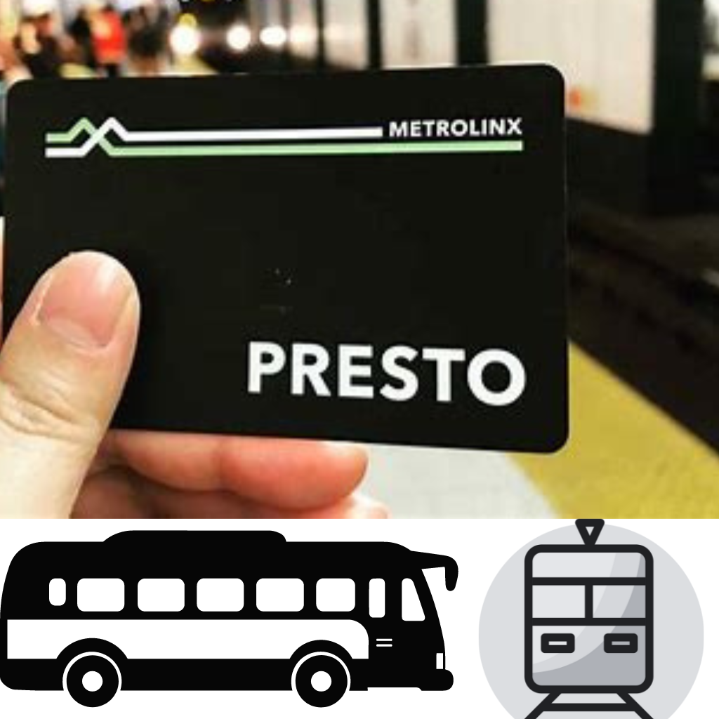
Presto Card: This is the most affordable option to select. Whenever for example a passenger boards the train, he or she deposits cash on the Presto Card at the Station or at any Website not forgetting to present it before stepping out.
Single-ride tickets are also a valid means of traveling by subway through purchasing them in vending machines found in subway stations. However, I must remind you, they are only valid for one ride.
Day Pass: Unlimited rides through the day Overly beneficial to those who wish to overuse the public means of transport on their trip.
Monthly Pass: This allows free travel to all and sundry for one month to regular beneficiaries.
Tip: Using Presto card, purchasing day pass or monthly pass, is an effective way of avoiding transport expenditure while in Toronto.
You may also like: How to travel to Georgia
Presto Card: Presto Card has been issued for use on streetcars, buses, or at the entrances of subways: simply tap on the card reader.
Cash: For cash fares on streetcars and busses it’s important that the bus driver gets exact change.
Using the System to Navigate Subway Stations:
Maps: To understand the structure, follow the maps which are located at the stations. You will rather clearly see the connections and line maps.
Signage: There are signs showing which direction leads to the exits or the platform.
Important: In case you do not know English, and cannot communicate to someone, you can find your way by relying on the signs.
The Bus and Streetcar:
Stops: Streetcar and bus stops are identified by signs. The front of the vehicles bear destination and route numbers.
Transfers: A transfer should be requested when boarding, if you intend to switch from one type of transport to another (i.e. bus to subway) Transfers last for no longer than two hours.
Accessibility:
Many stations and vehicles are accessible by those with impairments. Look out for low-floor buses and streetcars as well as accessible entrances.
General Consideration and Security:
Be aware of your environment and watch over your property especially in crowded areas.
Get in touch with TTC personnel on any issues or suspicious behavior or make use of the emergency call buttons located in subway stations.
Policy:
Offer a seat to individuals who require it (elderly persons, pregnant women etc.).
It Doesn’t Stop at City Limits
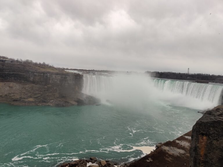
With a TTC pass, I also have access to GO Transit, a regional transportation system that will allow me to venture beyond Toronto to beautiful destinations like Niagara Falls.
Take in the Views
I took advantage of the streetcar routes to take in all that the streets of Toronto have to offer, particularly along the waterfront and through some of Toronto’s most notable neighbourhoods.
When I familiarized myself with the inner workings of the TTC, also hop onto the public transport with comfort.
Tip: For more detailed information please visit the TTC website or check out a few well-presented tutorials on YouTube. Enjoy adventure!
Tips for smooth ride
1. Busy Times
Toronto traffic is Heaviest at morning and evening rush hours. Try to pick different times if can, or add on extra time to try some of the other ways of working on time.
2. You can do More on Your Journey
I use my PRESTO card, and I have at least two hours to find my next stop or switch to another mode of public transit.
3. You Need to Know
The TTC was created so that all people can use its services, and since then the TTC has worked to make every one of its stations and cars available to people who have trouble getting around, such as having elevators at many subway stations height barriers on streetcars.
Make yourself quiet and don’t stand on the doorways or walkways.
More Modes of Transportation:
GO Transit:
To go from Toronto to the nearby areas, GO Transit has train and bus services that can take you there.
Durham Region Transit and York Region Transit (YRT):
As far as going outside Toronto is concerned, YRT and Durham Region Transit provide such services.
Since I have used public transportation in Toronto, I can recommend some things you can do better so as to have more time for city exploration using its public transport systems!
Amazing! Let’s explore some more variety of public transport in Toronto.
Explore the Toronto City with Some Other Public Transportation:

1. Bicycling
Bike Share Toronto: Check one of the many Bike Share locations in town for a bicycle rental. Ride through Torontos’ vast network of biking lanes and paths, including harbourside trails and Don Valley ones.
Renting a bicycle: Alternatively, renting a bike from a local store for some hours or a day would be a better choice.
2. Walking
Walking Tours: Join guided walking tours to comprehend Toronto’s history and culture. Most walking tours cover notable neighborhoods including the Distillery District, Kensington Market, and Harbourfront.
Self-Guided Walks: Design your routes to discover various neighborhoods like Queen Street West, the Annex or Yorkville Avenue.
3.Driving
Car rental: Go further out by hiring a car to visit places such as Scarborough Bluffs or High Park; it is also perfect for attractions that lack easy public transportation access.
Ride-share services: Use Uber or Lyft applications whenever you want after booking them on demand for convenience; this approach offers good solutions for remote locations or night travels.
4. Sailing
Harbour Cruises: Board a ship taking in Toronto’s harbor from water perspective; options include sightseeing cruises, dinner cruises and private charters thereon too.
Kayaking/Canoeing : Rent a kayak/canoe there and explore the nearby islands or waterfront areas which are more secluded from common sights above them alike those visible from above during night flights without lights but instead illuminated by stars above them when viewed during day-time hours depending upon seasons.
Explore the Toronto Island using the public transport

My planning on visiting the Toronto Islands and want to take public transport, here is how to escape the city.
The Toronto Islands offer peaceful parks, quaint beaches, and a stunning view of the skyline.
My first hop would start at the Jack Layton Ferry Terminal located at 9 Queens Quay West close to Bay Street and Queens Quay.
I could get there by the Toronto Transit Commission (TTC) service. I took the subway to Union Station (the city’s transportation hub) and then grab the 509 Harbourfront streetcar south to Queens Quay and Bay Street or get on the 510 Spadina streetcar heading south to Queens Quay and Bay Street.
Upon arrival at the ferry terminal, I would be provided with the opportunity to travel via one of three ferry routes which may be taken to my chosen island destination of Centre Island. (Hanlan’s Point, or Ward’s Island are two more options for you.)
The ferries are operated year-round by the City of Toronto with different degrees of service throughout the four seasons in the region.
I would be transported to the islands, while taking in the wonderful view of the waterfront of Toronto.
If you would prefer a faster ferriage, with a personal touch, a water taxi is also an option.
During the May through September stretch of summer, there are a number of companies that operate water taxis on their own schedule that often provide a quicker trip to the islands.
It is always a good idea to remember the Toronto Islands are a car-free community, which helps contribute to its charm and enchantment.
When I was there, I rent a bike to explore the islands and also took a walking tour. It was wonderful experience for me!
Remember: Once on the islands, you can travel on foot, rent a bike, or even take a slow pedal boat ride to explore. The Toronto Islands are quite small, and thus the travelling is easy and favorable.
Thus gather my favorite food to pack a picnic, grab my camera, and prepare for a lovely day at the Toronto Islands!
Taking just a short ferry ride from downtown Toronto, this peaceful escape is waiting for me to explore. Enjoy my visit!
Conclusion:
Using public transportation when you travel in Toronto is more than just convenience; it provides an opportunity to know the city like a local.
Each ride taken on streetcars that traverse downtown or subways that whisk passengers through various neighbourhoods will always yield something new and beautiful.
So, take your PRESTO card, map out your journey and be prepared for all those places not found in guidebooks but remain very much part of Toronto’s essence. Enjoy yourself!
